
Grand Junction Weather: Valley Temps Flirt With 106 Degrees Sunday
Summer in western Colorado is about to turn up the thermostat.
A few thunderstorms are still hanging around Thursday, but they're already starting to lose ground as high pressure builds into the Southwest.
By the weekend, the story shifts from scattered storms to near-record heat.

Storms Stay Mostly North
Thursday won't be completely dry.
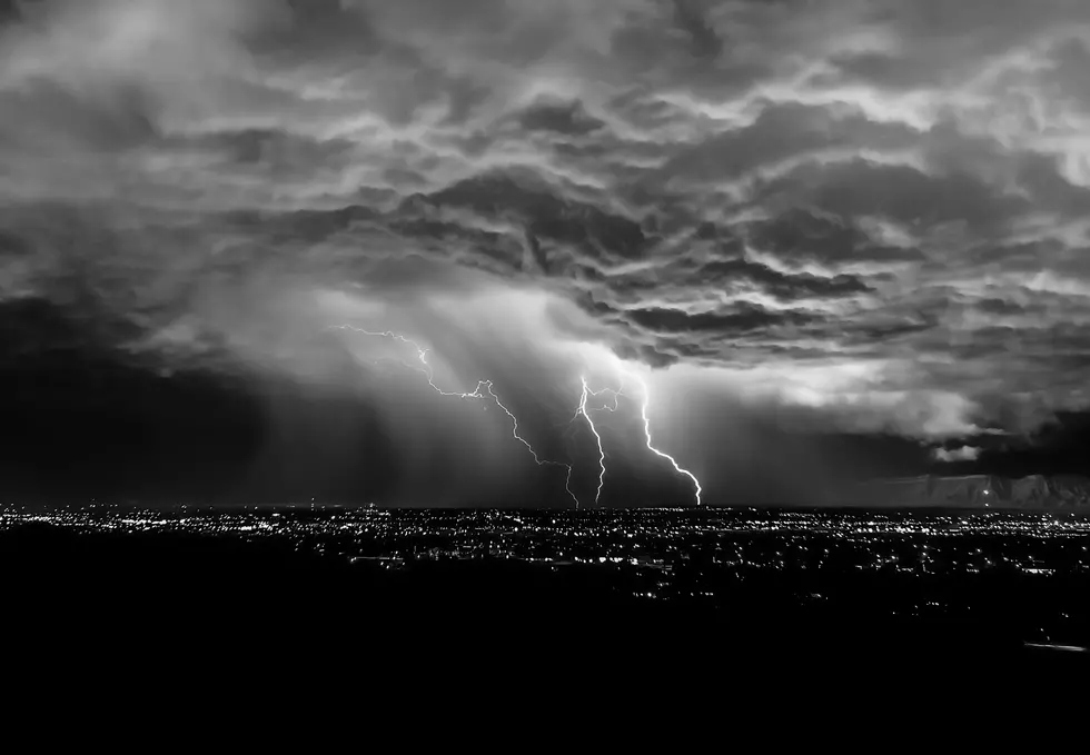
Expect isolated showers and thunderstorms to develop during the afternoon, mainly north of Highway 50. A stray storm could still pop up elsewhere, but coverage will be much lower than we've seen recently.
Like the past few days, these storms won't produce much rain for most areas. Instead, the biggest impact will likely be gusty outflow winds that could reach 40 to 50 mph.
Fire Weather Still A Concern
While widespread fire weather concerns are easing, localized critical fire weather conditions remain possible Thursday afternoon across southeast Utah and southwest Colorado.
Hot temperatures, dry air, and gusty winds will still create conditions where fires can spread quickly if one starts.
READ MORE: Stay Up-to-Date with All of Colorado's WIldfires
Weekend Heat Takes Over
The bigger story is what's coming this weekend.
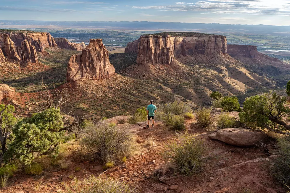
An Extreme Heat Watch has been issued for Saturday and Sunday as temperatures climb toward near-record levels across the lower valleys of eastern Utah and western Colorado.
Highs will steadily climb from near normal Thursday to around 10 to 15 degrees above average by the end of the weekend. Some lower-elevation communities could flirt with record highs as the ridge settles overhead.
The good news, if you want to call it that, is that lighter winds should reduce widespread fire weather concerns.
See Photos of the Gold Mountain Fire Near Ouray, Colorado
Gallery Credit: Wesley Adams
See Stunning Photos of Colorado's Snyder Mesa Fire
Gallery Credit: Wesley Adams
More From Kool 107.9