Best Western Colorado Hike You Haven’t Done – Rattlesnake Arches
Spring is here and it's time to get out and enjoy Colorado's outdoors. Have you ever hiked Western Colorado's Rattlesnake Arches?
I'm embarrassed to say this, but I haven't. I was born here and to date have never hiked to the arches. Oddly, it's not too far down the road. It's difficult to understand how this awesome Western Colorado hike has slipped past so many of us.

Just Down the Road From Grand Junction, Colorado
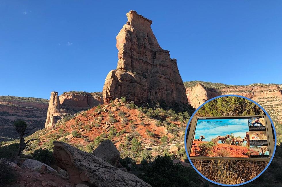
Rattlesnake Arches Trail is within the McInnis Canyons National Conservation Area. According to Coloradowestoutdoors.com, it is home to the second-largest concentration of natural arches in the nation, second only to Arches National Park in Utah. Other perks include wildlife viewing including bighorn sheep, deer, and maybe even a mountain lion or two.
The website visitgrandjunction.com says:
The Rattlesnake Arches are off the beaten path, but those willing to make the journey will be rewarded with one of Colorado’s most remarkable landscapes.
Six-and-a-Half Mile Trek
You're looking at hiking five-and-a-half miles round trip. Make that six-and-a-half if you include the overlook trail. It's rated as a Moderate hike. You'll need to set aside about four-and-a-half hours to complete the hike.
Visitgrandjunction.com adds, "The total distance for the out-and-back hike is 6.2 miles, although it can be shortened to 3.6 miles if you carefully scramble up a steep slab behind Cedar Tree Arch."
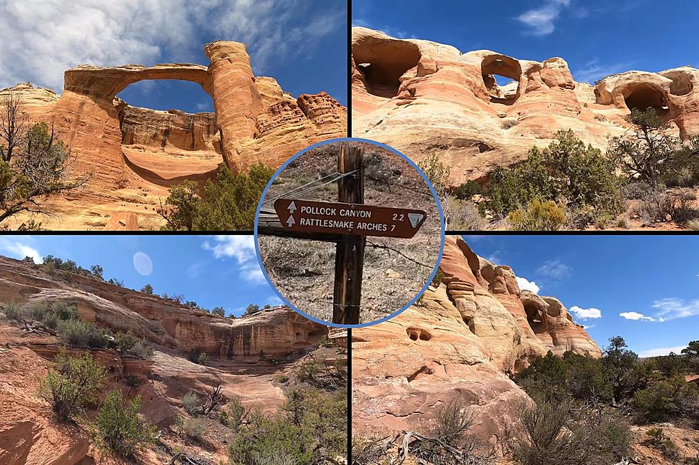
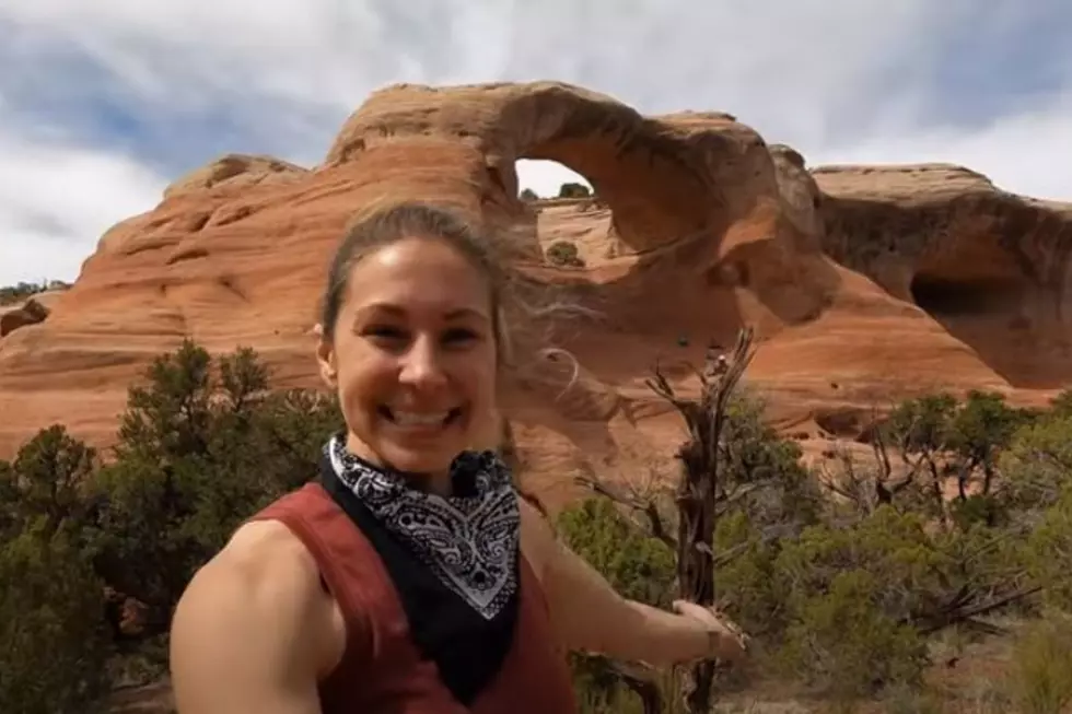
You'll Spot Eight Arches
Along the way, you'll encounter eight arches, including:
- Hole-in-the-Bridge Arch
- Eye Arch
- Centennial Arch
- Overhanging Arch
- Trap Arch
- Cedar Tree Arch
Take a Tour of Western Colorado's Rattlesnake Arches
Gallery Credit: Waylon Jordan
Making Your Way to Rattlesnake Arches
Okay, so how do you find it? Get ready for some really "rural" directions. Here we go. According to GoFruita.com:
- Take I-70 west to the Fruita Exit.
- Turn left (south) at the off ramp and follow the signs to the Colorado National Monument
- Enter the Colorado National Monument and travel 11 miles to the Glade Park Store turn off at 16.5 Road (it will be on your right).
- Travel 0.2 miles to the “Black Ridge Access Road” on the right.
- There is a cattle guard and a kiosk at this point.
- Travel on the open-access road for approximately 13 miles to the Rattlesnake Arches Trailhead. A high clearance, 4-wheel drive vehicle should be used to access this trail.
- Driving the last 2 miles is only recommended if you are experienced with a 4-wheel drive vehicle. These roads are impassable when wet, so keep the weather in mind.
- The Upper Road access is open from April 15 to August 14.
I found these directions to be a bit, shall we say, suspicious. So, I did what I always do in a case such as this - contacted my brother. He says:
I've been there two different ways, neither of which is (was) particularly easy. Back in the old days, you could 4-wheel drive the Black Ridge access road to a place pretty close to the arch. They closed that route down for a while, but I think it's open again although I am not sure. If it is, that's the easiest way by far *if* you have 4-wheel drive and high clearance. Even so, the last part is really rough and when I was mapping the area back in my geology student days I usually parked a couple miles away. The way I first visited the arches was a hike straight in from near Kingsview Estates in Fruita. There used to be a trailhead there that was about a 7 mile (I think?) hike each way to the canyon, but it includes crossing at least two canyons -- literally uphill both ways, in other words.
Right Here In Western Colorado
I'm looking forward to giving this a try. This is far too cool not to visit. While not necessarily easy to get to, it's undoubtedly worth the effort. Why drive all the way to Moab for arches when we have several in our own backyard? Take a virtual tour with the video below.
Take a Tour of Western Colorado's Rattlesnake Arches
Gallery Credit: Waylon Jordan
Take a Drive Through Rattlesnake Arches
Gallery Credit: Zane Mathews
Check Out the Hike to Colorado’s Hanging Lake Before You Try It
Gallery Credit: Nate Wilde
More From Kool 107.9