Grand Junction to Delta: What Highway 50 Looked Like in 1906
Living in Western Colorado means you have been down US Highway 50 a thousand times. Have you ever wondered what it was like for some of Mesa County's earliest residents to get back and forth between these two towns?
Facebook user Karen Vorbeck Williams recently shared a photo of what area roads like Highway 50 looked like in the year 1909. Check out the photo below as we briefly examine the history of one of Grand Junction's vital highways.

US Highway 50 wasn't introduced in America until 1926 as part of the original U.S. Highway system. This means the road in Karen Vorbeck Williams's photo predates that. We can see several boards in the photo laying along the road which helped motorists who got stuck in the mud or a rut. Vehicles during this time would have had to travel with their own gas, water, and other essentials to make these early vehicles travel long distances.
Colorado's Earliest Routes
Routes through the Colorado territory included the Old Santa Fe Trail which evolved into Colorado's first highway to be labeled with signs in 1908. Colorado began the new century with 7 significant routes to guide motorists.
- Great North and South Highway (Cheyenne to Fort. Collins).
- Platte Valley Road (Julesburg to Greeley to Denver).
- Grand Valley & Hot Springs Scenic Route (Denver to Kremmling to Wolcott to Grand Junction).
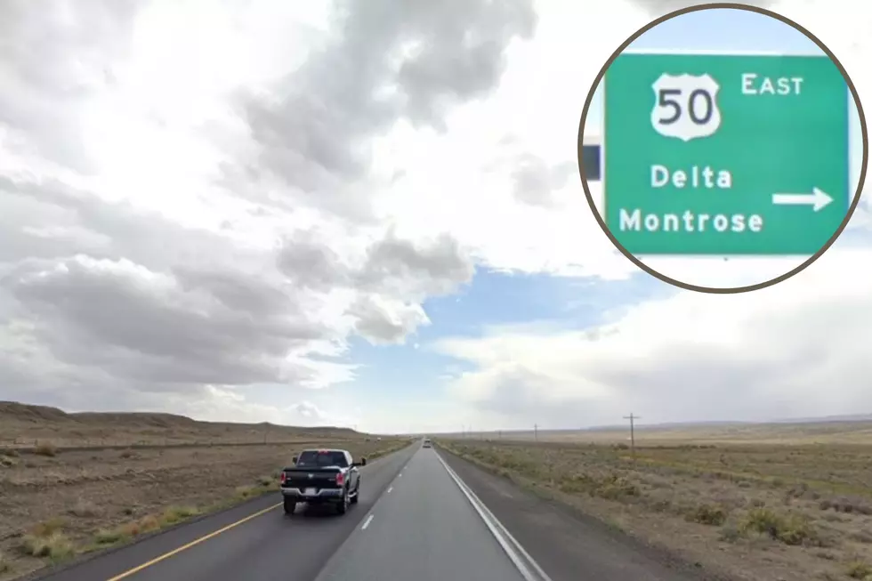
- The Rainbow Route (Pueblo to Montrose US 50)
- The Roaring Fork Route (Glenwood to Aspen to Twin Lakes)
- The Sangre de Cristo Route (Salida to Saguache to Monte Vista)
- San Juan Way (Montrose to Ouray to Silverton to Durango)
The Beginnings of US Route 50 in Colorado
Coloradans can thank Captain John Williams Gunnison in part for our "Rainbow Route" which would go on to become Colorado's Highway 50. Following the Gunnison River, he was one of the first to explore Colorado's Tomichi Valley and the Black Canyon of the Gunnison before heading into Utah to explore the Great Salt Lake.
US Highway 50 in Colorado
In 1926, US Highway 50 connected Maryland to the California coast after the completion of 3,073 miles of roadway. The portion of the highway in Colorado is about 467 miles long. Highway 50 will take you past the site of the Colorado State Fair in Pueblo, over Monarch Pass and the Continental Divide, down the Tomichi Valley past the Black Canyon of the Gunnison, and between the Uncompaghre Plateau and the Grand Mesa before heading into Utah. Colorado had plans to expand US Highway 50 to 4 lanes from Pueblo to Grand Junction. The expansion was completed between Grand Junction and Montrose in 2005. Only about 25% of the rest of the highway has been upgraded to 4 lanes.
LOOK: The Story Behind Colorado's Beautiful Million Dollar Highway
KEEP GOING: Take a Drive Down Colorado's Devil Highway Route 666
MORE: Explore all 26 of Colorado's Scenic and Historic Byways
More From Kool 107.9