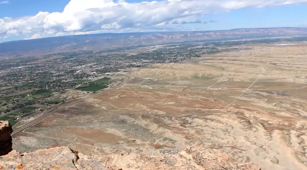
Funnel Cloud Caught Over Grand Junction
A funnel cloud was just caught over Grand Junction not once -- but twice. Take a look at these insane pictures of a funnel cloud over Mt. Garfield.

According to the US National Weather Service, it's cold air funnel that's formed because of especially cold air and some instability. (Does this sound like your ex?)
The US National Weather Service also adds that the funnels rarely reach the ground and cause minimal damage if they do. Even though these pictures are extremely cool, it still freaks me out because of that last part. The whole possibly reaching the ground thing.
Thankfully we don't have to worry about it reaching the ground because this funnel has already dissipated. If you caught a picture of the funnel before it vanished into thin air, make sure you drop your picture in the comments.
More From Kool 107.9


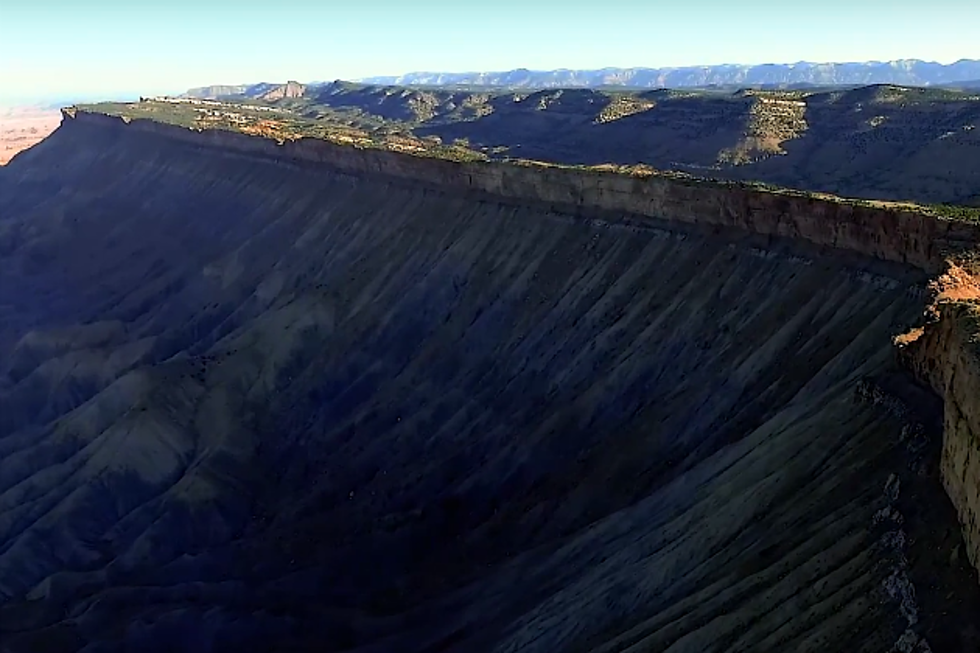
![A Frightening View of the Mt. Garfield Descent [VIDEO]](http://townsquare.media/site/508/files/2016/04/mt_garfield_downview-e1461876824104.png?w=980&q=75)