Western Colorado’s Dolores River Today vs Same Time Last Year
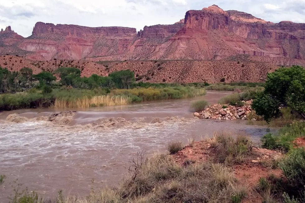
The video above is the Dolores River, a few miles west of Gateway, on May 4 2019. Compare it to video shot exactly one year ago. What a difference.
Each year I make my way to a little destination just west of Gateway, Colorado. My trip is always on the first Saturday in May. To date, I've seen the Dolores River range from little more than a ditch all the way to a legitimate river. Again, this is always at the exact same time of year. Here's video from May 5, 2018.
Night and day. Unfortunately, I didn't make my way down to what I believe they call "State Line Rapids." That's a little farther west. It would have been interesting to see the rapids at this water level. Not only is the river profoundly different, check out the vegetation in the surrounding area.
According to Bing.com:
The Dolores River is one of Colorado’s most colorful and sublime rivers. Its headwaters begin at approximately 14,000 feet in the San Juan Mountains near Lizard Head Pass. It flows south past the towns of Rico and Dolores, and makes a horseshoe turn at McPhee Reservoir, which was completed in 1987 to divert water for municipal and agricultural uses.
What's the status of McPhee Reservoir? Doloreswater.com released the following statement on May 3, 2019:
McPhee continues to rise over a foot per day, while diversion demands remain very low. The tremendous low snow below 9,000′ has generated most of the runoff and inflows to date, while keeping much of the irrigated lands from drying. The upper elevation snow had just started to melt when the last stormed slowed or stopped the high elevation melting, added a few more inches and practically stopped the irrigation diversions briefly. - Doloreswater.com
Obviously, 2019 is unfolding drastically differently than 2018. If you get a chance, pay a visit to the Dolores River. There's 241 miles of it, so there's plenty to go around.
More From Kool 107.9


