The Colorado Snowpack Grows To Near Historic Levels
The snow water equivalent in the Colorado River Basin is well above normal.
As of last weekend, Colorado's snowpack was near record levels. With another couple of weeks before Colorado traditionally hits its peak, the winter of 2018-19 could break the recent record set in 2008. On March 24th the Snow Water Equivalent in the Upper Colorado River Basin tied the amount from 2008.
The snow this winter has been heavy and wide-spread throughout Colorado. The state's average snowpack is at 141% of normal. This year's snowpack is impressive at a whopping 205% above last year’s total. The area's that received the most snow was the parts that needed it the most. The southern half of Colorado is at 110% or higher with the southwest portions at 150% or above. All of the Gunnison, SanMiguel, Animas, San Juan, and Upper Rio Grande river basins are all above 150% of normal Snow Water Equivalents.
The snow's not finished yet. The higher elevations are predicted to receive more snow later this week. In some places, they could get several inches more.
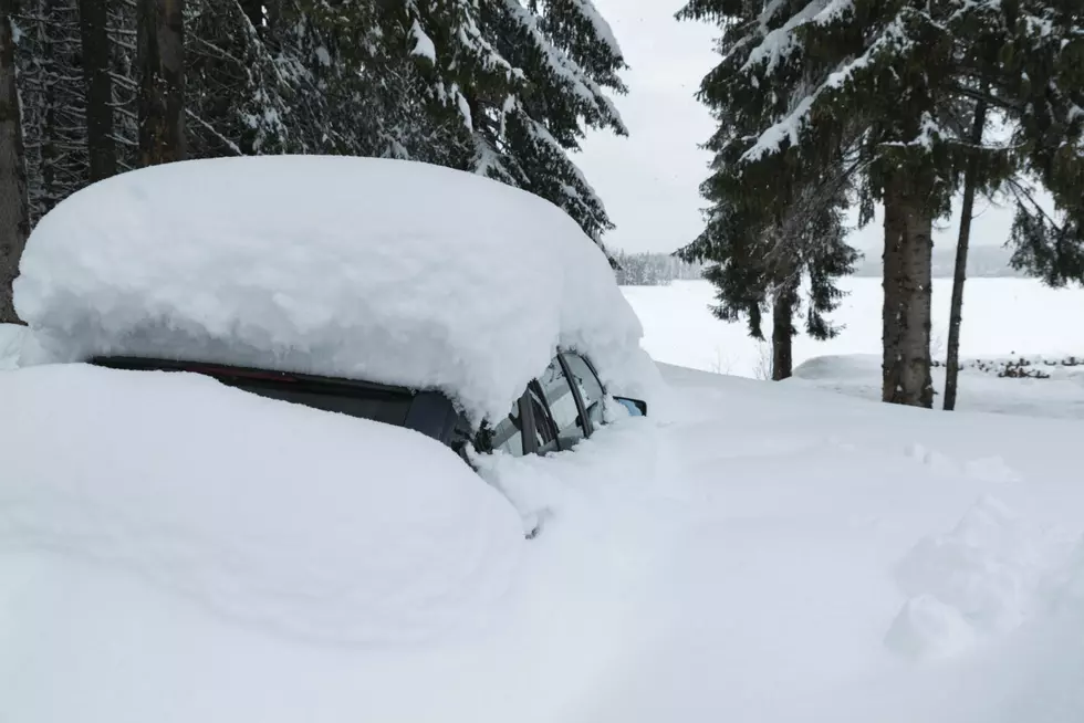
Credit: Out There Colorado
More From Kool 107.9