
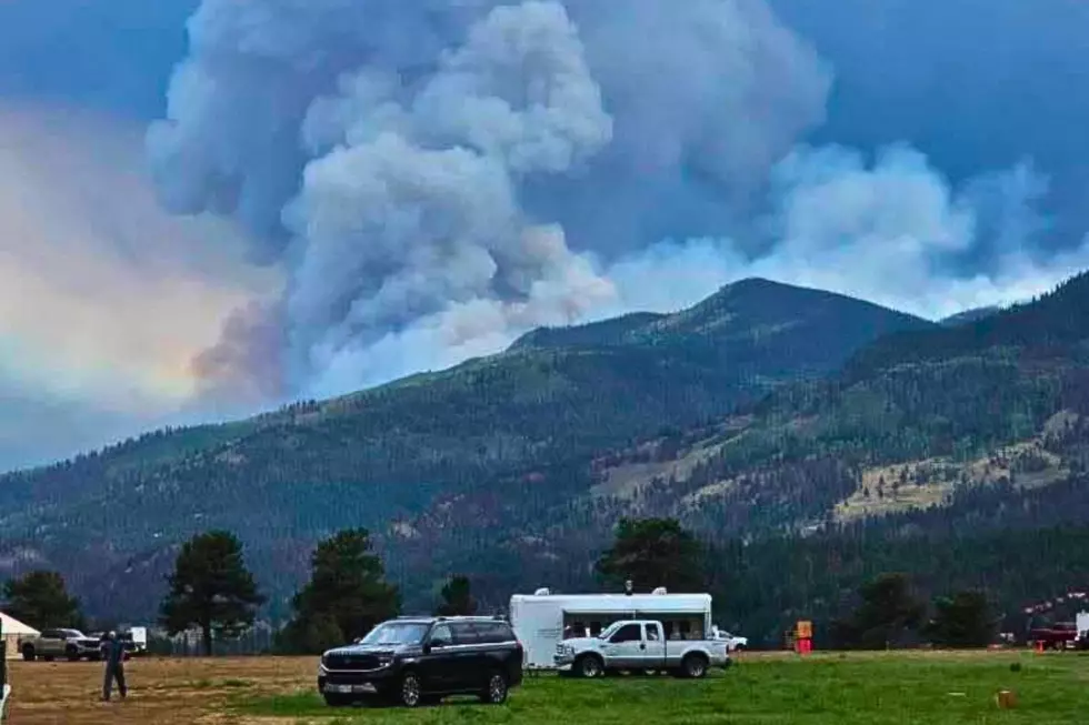
Colorado’s Elk Fire Is Growing: Here’s the Latest Update
If you're heading toward Lake City or planning a trip through Colorado's San Juan Mountains, now is the time to check the latest Elk Fire updates.
The lightning-caused wildfire in northern Hinsdale County grew from 500 acres to nearly 2300 acres last week, as firefighters battled steep terrain, dry vegetation, and gusty afternoon winds that fueled active fire behavior.

What You Need to Know Right Now: Where the Elk Fire Is Burning
Read More: Colorado's Fastest Way to Check Gold Mountain Fire Evacuations
The Elk Fire is burning north of Lake City in northern Hinsdale County in the Gunnison National Forest. The fire was managed by the Wyoming Interagency Type 3 Incident Management Team 1 until July 16th, when command was transferred to Northwest Complex Incident Management Team 8.
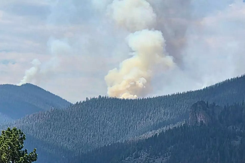
Elk Fire is burning west of Highway 149 near Independence Gulch, with over 360 personnel assigned to the incident as of July 19. Watch Duty reports the heavy smoke column coming from Elk Fire over the last 24 hours is due to 70–90% of the fuels in the fire area consisting of dense areas of dead trees.
Current Evacuations Remain in Effect for Parts of Hinsdale County
Hinsdale County has issued mandatory evacuation orders for Zones HNS-E002 and HNS-E005. Voluntary notices remain in effect for Lake City, properties along Highway 149 into town, and areas south, east, and west of Lake City. North of the county line, Gunnison County Zone GNN-220 is also under a pre-evacuation notice. An evacuation center has been opened at the Lake City Armory, at 230 N. Bluff Street. A fire information line is staffed daily from 8 a.m. to 8 p.m. at 970-299-5357.
Officials urge everyone in affected areas to monitor emergency alerts as evacuation zones can change quickly. See the latest evacuation zone maps for the Elk Fire and the Gold Mountain Fire here.
Travelers Should Expect Road and Forest Service Closures
Read More: What Colorado's Fire Restriction Stages Really Mean
If you are driving through Lake City, Highway 149 remains the primary route. Smoke will likely reduce visibility at times, and you should expect firefighting operations to cause temporary delays as the fire approaches 149. The GMUG National Forest has also closed National Forest System Road 7868 (Alpine Road) to protect firefighters and the public, and additional recreation closures are possible if fire activity increases.
LOOK: See Photos of the Gold Mountain Fire Near Ouray, Colorado
Gallery Credit: Wesley Adams
KEEP GOING: See Stunning Photos of Colorado's Snyder Mesa Fire
Gallery Credit: Wesley Adams
NEXT: Colorado Wildfire Damage by Year, Number of Fires + Acres Burned
Gallery Credit: Tim Gray
